Bali's Volcanoes and Where to Watch the Sun Come Up
July 27, 2026 · Miragi Team
Bali's mountains are not scenery — they are the island's spiritual axis. Direction in Balinese is not north and south but kaja (toward the mountains) and kelod (toward the sea), and every temple, every house compound, every village is laid out on that axis. Mount Agung is where the gods live.
Which is worth knowing before you treat a volcano as a hiking opportunity. Here are five, from the 3,142-metre summit to a hill in West Bali where you can watch the mist roll in without setting an alarm.
Gunung Agung — Karangasem · 3,142 m
The highest and holiest mountain on Bali, and believed to be the palace of the gods and ancestral spirits — which is why Pura Besakih and a chain of other sacred sites sit on its slopes.
It is an active stratovolcano with a large, deep crater, with recorded eruptions since 1808. The 1963 eruption was devastating, and there was significant activity again in 2017–2018. Legend holds that it is a piece of Mount Semeru, carried to Bali by the world-turtle Bedawang Nala at the god Pasupati's command, to balance the island.
Climbing it is a serious undertaking, and status can change. From the top on a clear morning you can see Rinjani on Lombok and Batur below.
Gunung Batur — Bangli · 1,267–2,152 m
The sunrise trek almost everyone does, and for good reason: a manageable pre-dawn climb inside a vast caldera, with the summit reached in time for the sun coming up over the lake.
Batur has erupted 26 times in recorded history. The 1926 eruption buried the entire old village of Batur under black lava — which is why Pura Ulun Danu Batur's surviving structures were relocated to Kintamani. Local legend has it that the mountain and lake originate with Kebo Iwa, a giant tricked into a well by villagers; the well became Lake Batur.
Gunung Abang — Bangli · 2,151 m
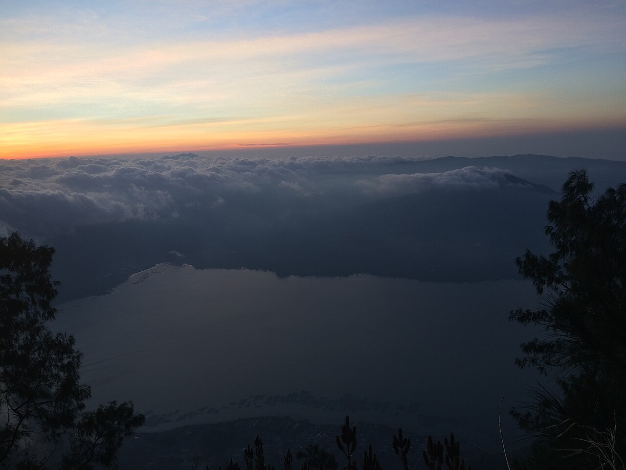
Photo: Garcinia mangostana — CC BY-SA 4.0, via source

The one that gets skipped. Abang is volcanically inactive, which makes it a safe and straightforward trek — and it looks across at Batur rather than standing on it, which is arguably the better view.
Two trekking routes start at temples: Pura Penyawal and Pura Andong. The path gives you Batu Lilin Abang, the caldera, and Lake Batur below. It's an active site for Hindu ritual, particularly around the full moon, so tread accordingly.
Bukit Asah — Karangasem · sea views, gentle climb
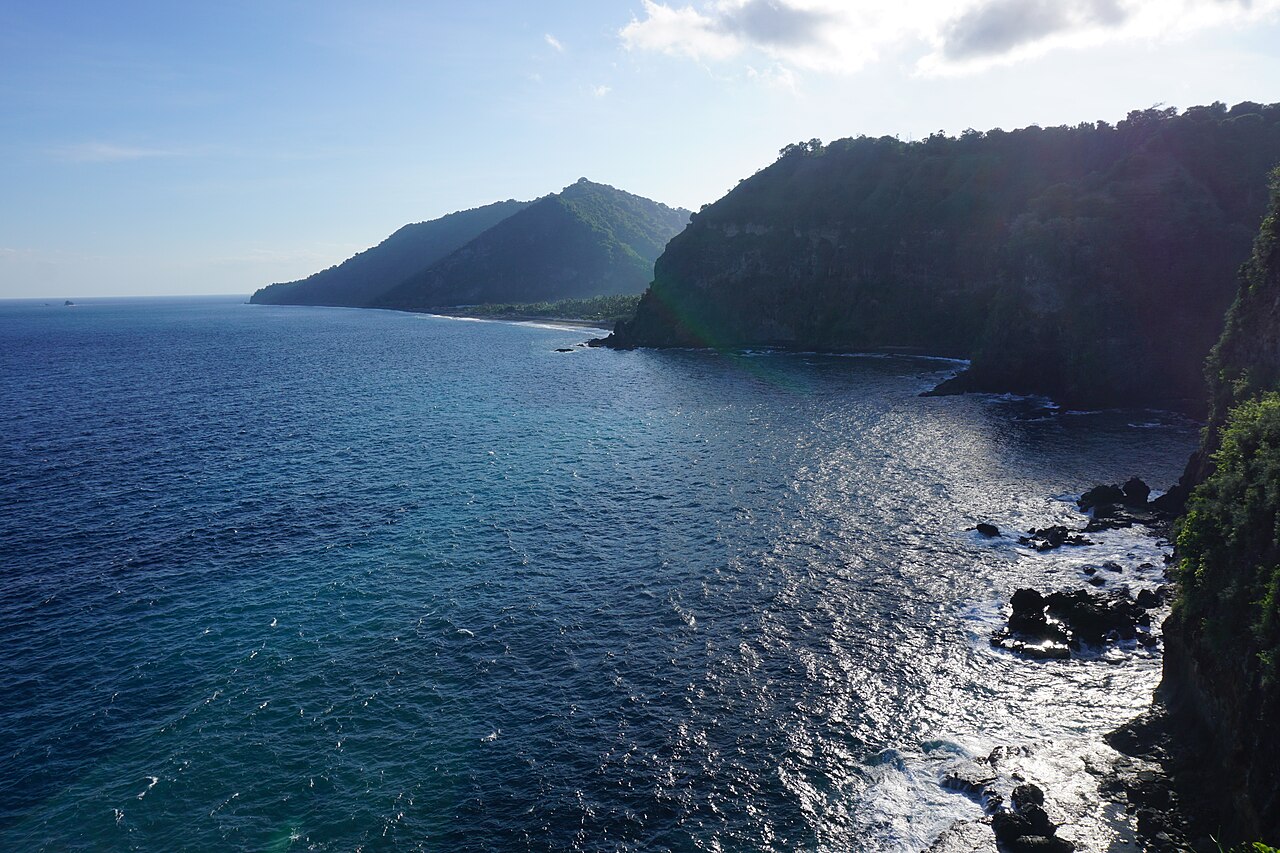
Photo: Bagus purnamasidi — CC BY-SA 4.0, via source

Not a volcano — a hill above Bugbug Village looking out over the sea, with Virgin Beach (Pantai Perasi) tucked behind the cliffs below and reachable on foot.
The hike is gentle, and the summit gives you the whale-shaped Kuan Island offshore. Grassy slopes make it one of the few places on Bali set up for camping: Bali Harmoni Park lets you bring a tent or rent one. Clear mornings deliver the sunrise without any of Batur's logistics.
Puncak JR — Jembrana · ~1,200 m
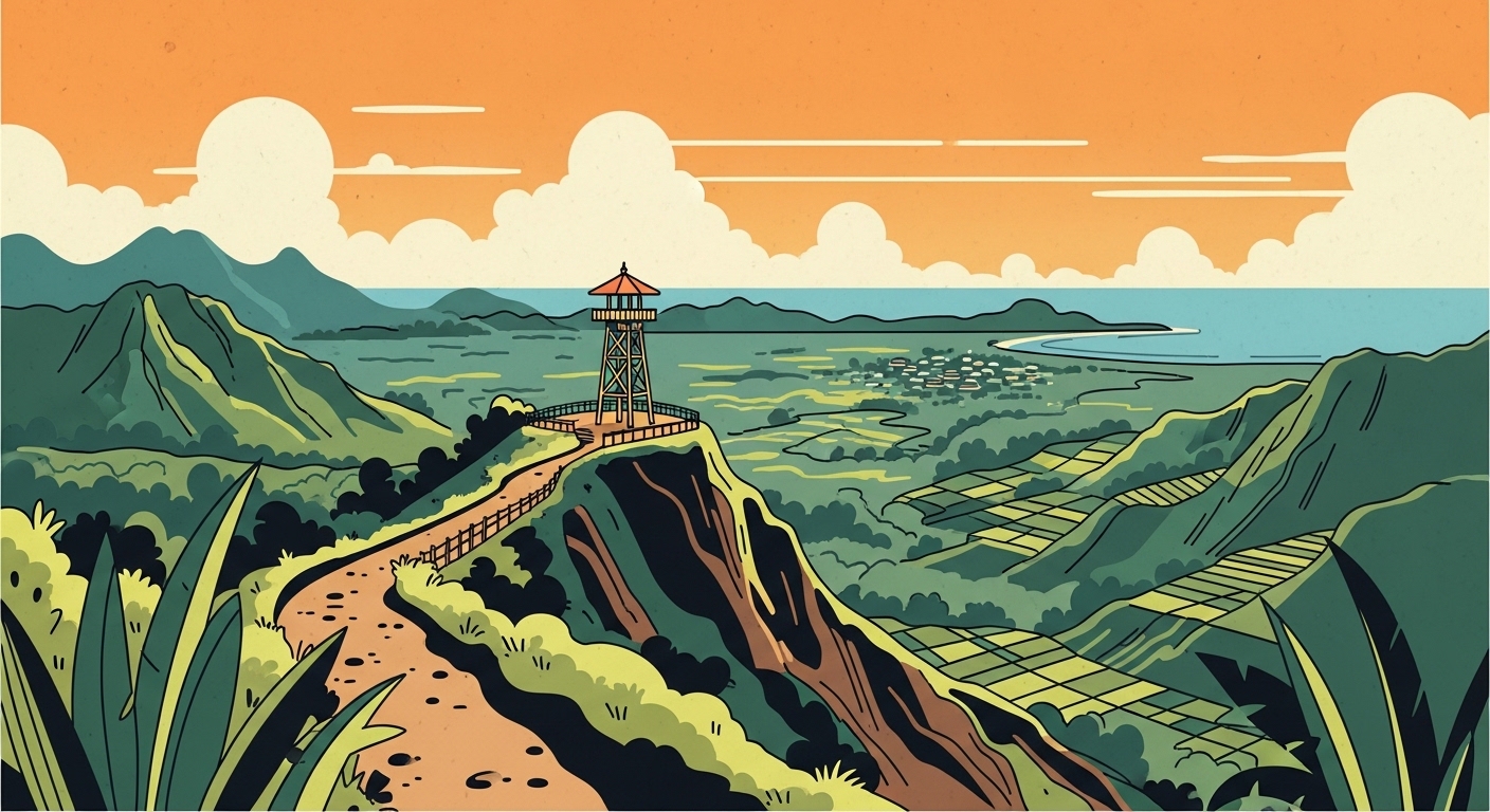
Illustration: Miragi
The far west, in Batuagung Village, and a genuinely recent arrival — it was a spot where local kids hung out before becoming an official attraction.
At around 1,200 metres you get the "land above the clouds" effect when mist fills the valleys, plus viewing decks and sky swings. Access is rough going. What you get for it is a view over West Bali that almost no visitor ever sees.
A note on climbing
Volcano status changes, routes close, and the mountains are sacred sites as well as hikes — treks are normally done with local guides, and that is both the safe and the appropriate way to do it.
Sunrise treks start absurdly early and finish in strong sun, so the health guide is worth a read, and the getting around guide covers what the pre-dawn drive to Kintamani actually involves.
Miragi has narrated audio guides for each of these — including the Kebo Iwa legend, the 1963 eruption, and why the mountain-sea axis governs the layout of every building on the island. Over 200 sites across Bali.